
Follow the water from Caño Negro Lagoon to the Río Frío and see how the refuge fits around them.
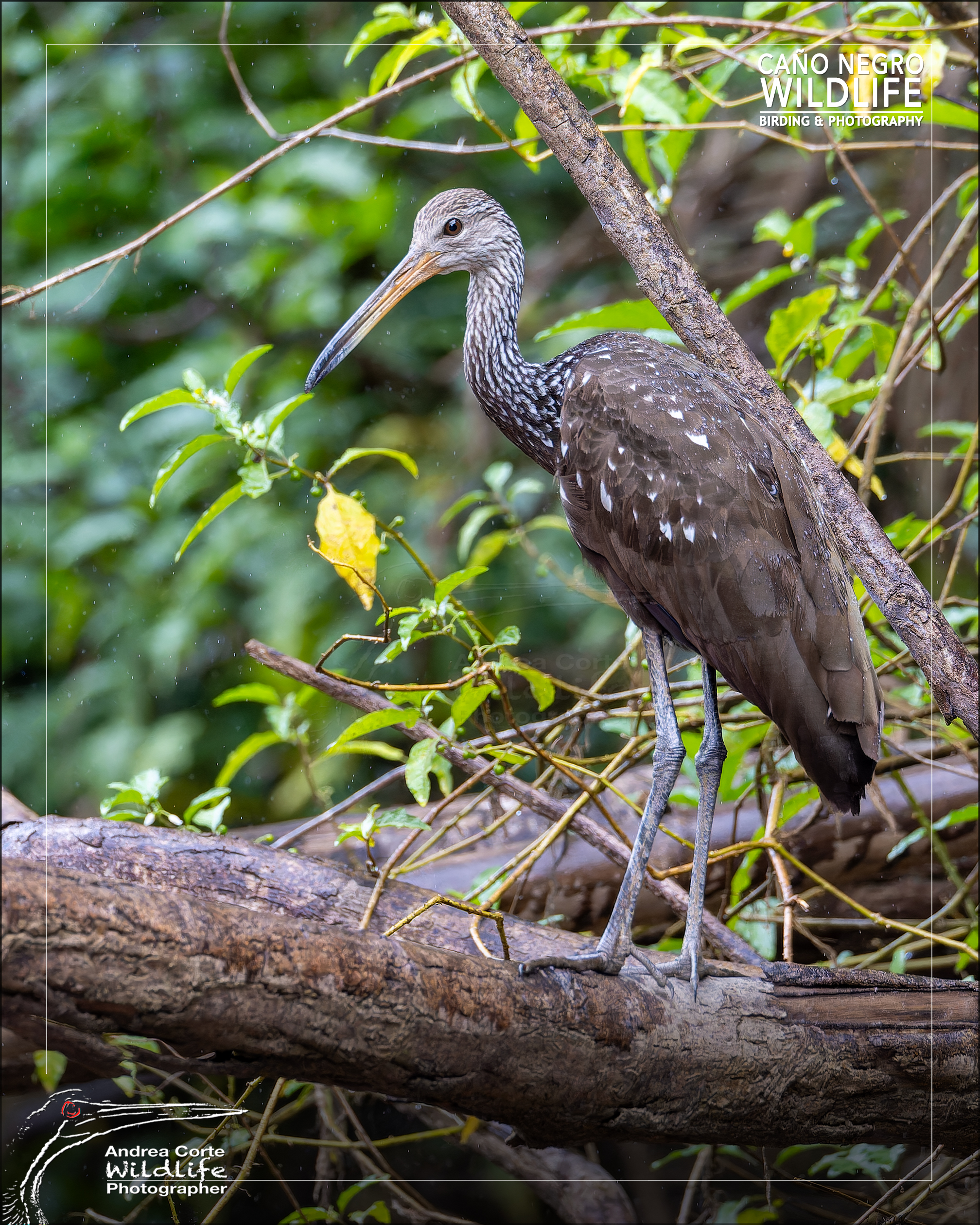
Caño Negro Lagoon is a shallow freshwater lagoon connected to the Río Frío system in northern Costa Rica. The wildlife refuge protects the lagoon, sections of the river and surrounding habitats. Together they form a wetland whose connections change as water levels rise and fall.
Caño Negro Lagoon, Río Frío and the Wildlife Refuge: How They Connect
The lagoon is one part of the wetland
From the lagoon, you can look across open water towards the vegetation along its edges. Marshes and seasonally flooded woodland surround the open water, and channels connect different parts of the wetland as conditions change.
A boat outing can reveal several sides of this landscape. You may spend part of the route looking across a lagoon and another part watching the banks and overhanging vegetation along a channel or river section.
Río Frío runs through the wetland
The refuge lies in the lower Río Frío basin. The river and its tributaries help sustain the wetland, and some of its channels provide routes through it. Sections of the Río Frío lie within the refuge, while the river continues beyond the protected boundary.
The refuge protects several connected habitats
The protected area includes lagoons, marshes, river sections and seasonally flooded forests. Its boundary crosses a landscape that changes with the water. Higher levels can connect flooded areas and channels. As the water falls, some connections narrow or become too shallow for a boat.
That helps explain why the route can vary between visits, even when the boat leaves from the same place. Read more about how water levels shape the Caño Negro experience.
What to confirm before your outing
- Where does the boat depart?
- Does the planned route enter Caño Negro Wildlife Refuge?
- Which parts of the wetland are expected to be accessible during your visit?
For more on the geography and habitats, read Hotel de Campo’s guide to Caño Negro Wildlife Refuge.